By Kalvin Valdillez, Tulalip News
Following the two-week holiday snow storm that led us into the new year, the Pacific Northwest’s forecast has consisted of nearly all the different types of weather since. From our typical overcast and rainy days to clear sunny skies, Washington state residents have experienced just about every type of precipitation imaginable as well as felt the various degrees in temperature, ranging from below freezing to as warm as the low 50’s.
On an early evening last week, many people were compelled to reach for their smart phones and open their camera apps to snap a shot of the sky, which was a scene filled with gorgeous and vibrant colors of pink, purple, blue and golden hues. Multiple areas throughout the state also dealt with extreme flooding as this winter’s snowfall began to melt after steadily compiling for several days in a row.
Starting out, 2022 has already seen snow, rain, hail and sunshine, not to mention cloudy and windy days. And over the three-day weekend, in which we take to time to honor the legacy of Dr. Martin Luther King, local meteorologists predicted that we were set to have our first encounter with some morning fog throughout the Puget Sound region this year.
Although the weather specialists did predict fog in the forecast, they also thought it would only occur in the early hours of Saturday January 15, and sunshine would prevail for the rest of the long weekend. As we know, however, that was not the case as heavy condensation hung in the air, and coastal communities experienced limited visibility as a dense fog advisory was put into effect, extending through both Sunday and MLK day.
Amidst the fog and the mist, many of us woke to urgent alerts and notifications on Saturday morning, stating that we, along with California, Oregon, B.C., and Alaska, were under a tsunami advisory. The underwater Hunga Tonga-Hunga Ha’api volcano erupted in the South Pacific on the evening of January 14, covering the isles of the Tonga nation with ash and smoke, as reported by CNN. The tsunami waves caused from the volcanic eruption first hit the shores of Tonga, flooding several homes of the island community.
The initial waves were reportedly several feet high and traveled thousands of miles across the Pacific Ocean and eventually reached the Salish Sea on Saturday morning. The National Weather Service warned local residents to stay away from the beaches and coastlines as the tsunami waves arrived, claiming that the waves could be as big as three feet and could potentially drag people out to sea.
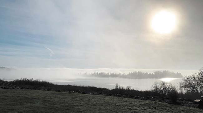
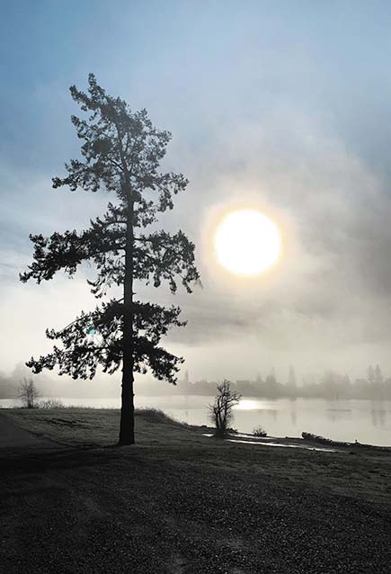
At Tulalip, the reservation was covered with a thick layer of fog. It was suggested on Tulalip News Facebook that the fog was brought on because of the volcano eruption and subsequent tsunami waves. But as it turns out, the two bouts of weather, which both called for advisories, were indeed separate.
The eruption did in fact impact the fog. However, an 820-mile-per-hour shockwave traveled nearly 6,000 miles to our local region and actually cleared some of the fog temporarily, and for a moment blue skies and sunshine could be seen in certain areas of the northwest.
The effects of the volcano eruption and tsunami waves have yet to be seen and many are wondering if it will impact the climate, sea-level rise or marine life. Scientists and specialists are still studying the natural phenomenon. And with the recent tsunami threat, many coastal communities are updating their tidal wave and evacuation plans.
With the somewhat extreme and unpredictable weather occurring throughout this winter, it is important to stay up-to-date with the current forecast. Be sure to follow the National Weather Service on your preferred social media platform and set-up a few weather alerts on your phone to be best prepared for whatever weather may come our way.
You can also text STORM to 844-962-3985 to stay up to date on the latest information about storms and emergencies on the Tulalip Reservation.
